


![]() Press release
Press release
2MB
Comunicato Stampa disponibile solo in lingua originale.
The General Directorate of Forests (DGF) of #algeria, in partnership with the Mediterranean Wetlands Observatory (MWO), organised a 5-day workshop (17 to 21 April 2016 in Jijel, Algeria) to produce thematic maps on land use and flooding dynamics for 50 Algerian Ramsar Sites, using tools from GlobWetland-II (GW-II). These maps have been developed from images from the Landsat 8 satellite covering the year 2015, and the typology used for the land use classification is a hybrid typology that combines the Corine Land Cover classes with the Ramsar Classification System of Wetland Type.
This work comes as a result of the willingness to strengthen the collaboration between the MWO and the DGF in the field of the conservation and monitoring of wetlands in #algeria, particularly in relation with the Ramsar listed sites. The objective is, among other things, to provide updated information on wetland habitats, which will update the site descriptions in the Ramsar Information Sheets (RIS). In addition, the maps and databases produced during this work, and those that were created in the framework of the GW-II project (2010-2015), will serve as references for the development of a new Atlas of Algerian Ramsar Sites, which will also include a retrospective analysis of the evolution of indicators on land use (developed by MWO) between 1975 and 2015. (See publications below from this project)
Expected results:
– Completion of mapping of Ramsar Sites under the GW-II project and updating of the maps for all 50 sites for the year 2015;
– Development of a database on the evolution of land use for all 50 Ramsar Sites between 1975, 1990, 2005 and 2015;
– Treatment of this database and a new edition of Atlas of Algerian Ramsar Sites with a retrospective analysis of spatial indicators on the dynamics of land use.
More informationMore information about the Information Service on Ramsar sites.
GlobWetland-II project on the site dedicated to the project: http://www.globwetland.org/
Publications of the Observatory of Mediterranean wetlands from the Globwetland-II project:
Mediterranean coastal wetlands: the land use synthesis
Second thematic report: Land cover spatial dynamics in Mediterranean coastal wetlands from 1975 to 2005.

1-1-300x169
![]() 300x169, 42KB
300x169, 42KB
3-1-300x169
![]() 300x168, 46KB
300x168, 46KB
2-1-300x169
![]() 300x168, 41KB
300x168, 41KB
![]() Press release
Press release
2MB
News correlate |
|
febbraio 19, 2016
|
|
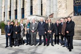
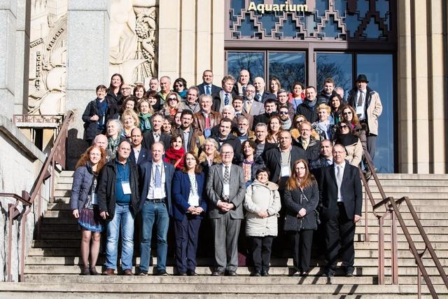
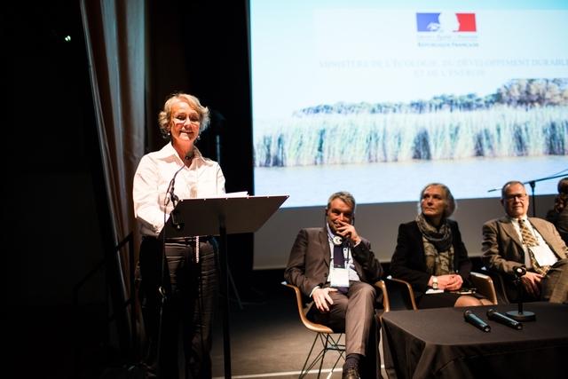
Comunicato Stampa disponibile solo in lingua originale. Press release available only in original language. The French Ministr... |
© Copyright 2024


 Inglese
  Condividi
 Condividi via mail
  Automotive
 Sport
Sport Events
 Art&Culture
 Design
 Fashion&Beauty
 Food&Hospitality
 Tecnologia
 Nautica
 Racing
 Excellence
 Corporate
 OffBeat
 Green
Green Gift
Gift Pop
Pop Heritage
 Entertainment
 Health & Wellness