
![]() Press release
Press release
527KB
Comunicato Stampa disponibile solo in lingua originale.
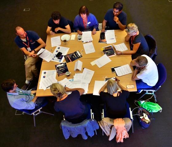
This image from Copernicus Sentinel-3A shows the temperature at the top of Hurricane Matthew at 03:13 GMT (05:13 CEST) today, as it approached Florida in the USA.
The temperature of the clouds at the top of the storm, about 12 km from the ocean surface, range from about –80°C just outside the eye of the storm to about 25°C at sea level in the Gulf of Mexico, where it is relatively calm. This monster 400 km-wide hurricane was about 200 km northwest of Miami Beach when the image was taken. Having already caused devastation in the Caribbean, Matthew is the most powerful hurricane to threaten the US Atlantic coast in more than a decade – and it is thought that it could be the most catastrophic to hit Florida in more than a 100 years.
Sentinel-3’s sea and land surface temperature radiometer measures energy radiating from Earth’s surface in nine spectral bands. This is a thermal infrared image at a resolution of 1 km.

Eye of the storm
![]() 1228x949, 899KB
1228x949, 899KB
![]() Press release
Press release
527KB
News correlate |
||

|

|
|
agosto 21, 2018
|
dicembre 05, 2016
|
novembre 28, 2016
|
|
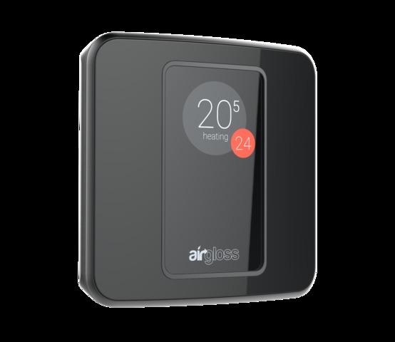
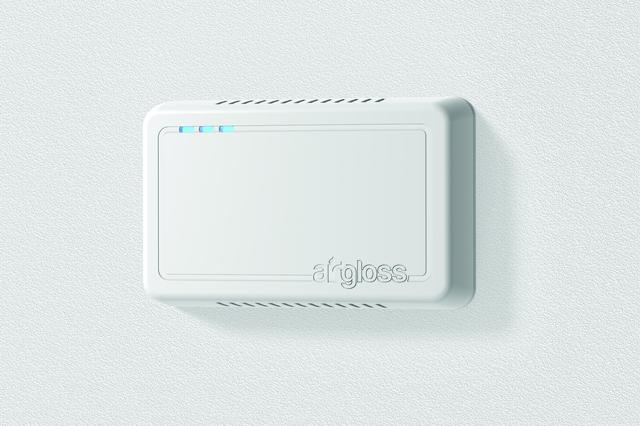
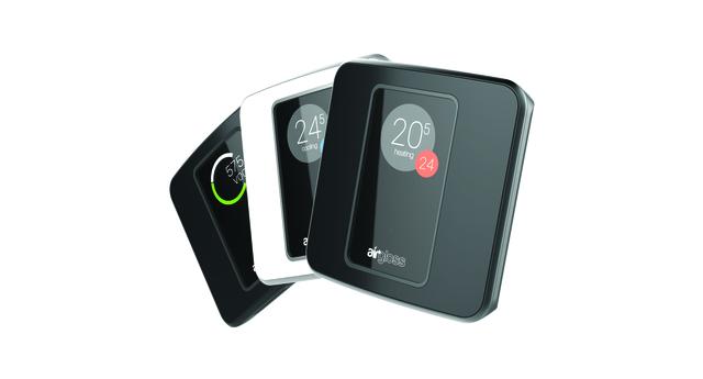
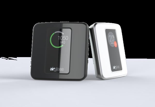
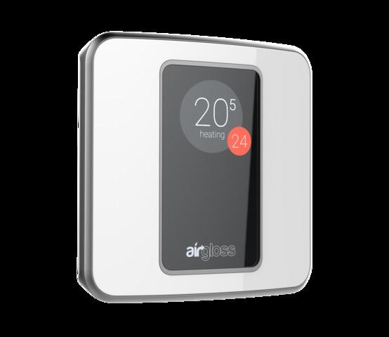
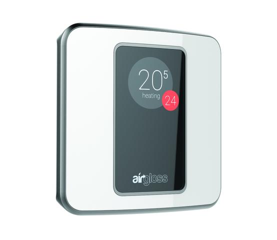
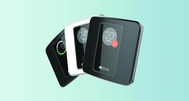
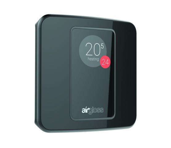
Per il secondo anno di seguito, Airgloss parteciperà all’IFA come espositore, per presentare i suoi prodotti all’avanguardia nell’... |
Comunicato Stampa disponibile solo in lingua originale. With Europe’s Galileo satnav constellation soon to provide initial service... |
Comunicato Stampa disponibile solo in lingua originale. about 2000 Europeans helped to shape the future of space by taking part in... |
Ti potrebbe interessare anche |
||

|
|

|
novembre 24, 2016
|
novembre 23, 2016
|
ottobre 14, 2016
|
|
Comunicato Stampa disponibile solo in lingua originale. Clean Space is coming up to its fourth birthday and even if we’re not... |
Comunicato Stampa disponibile solo in lingua originale. It was a literal property crash: multiple homes in the Cármenes del ... |
Comunicato Stampa disponibile solo in lingua originale. 14 October 2016Next week, ESA’s ExoMars has just a single chance to g... |
© Copyright 2024


 Inglese
  Condividi
 Condividi via mail
  Automotive
 Sport
Sport Events
 Art&Culture
 Design
 Fashion&Beauty
 Food&Hospitality
 Tecnologia
 Nautica
 Racing
 Excellence
 Corporate
 OffBeat
 Green
Green Gift
Gift Pop
Pop Heritage
 Entertainment
 Health & Wellness